Standard
$720per person
Shared rooms in Imlil and at the refuge, group guide
Choose StandardFive days from Imlil to the summit of Toubkal at 4,167 m, with mule support to the refuge and a night at altitude.
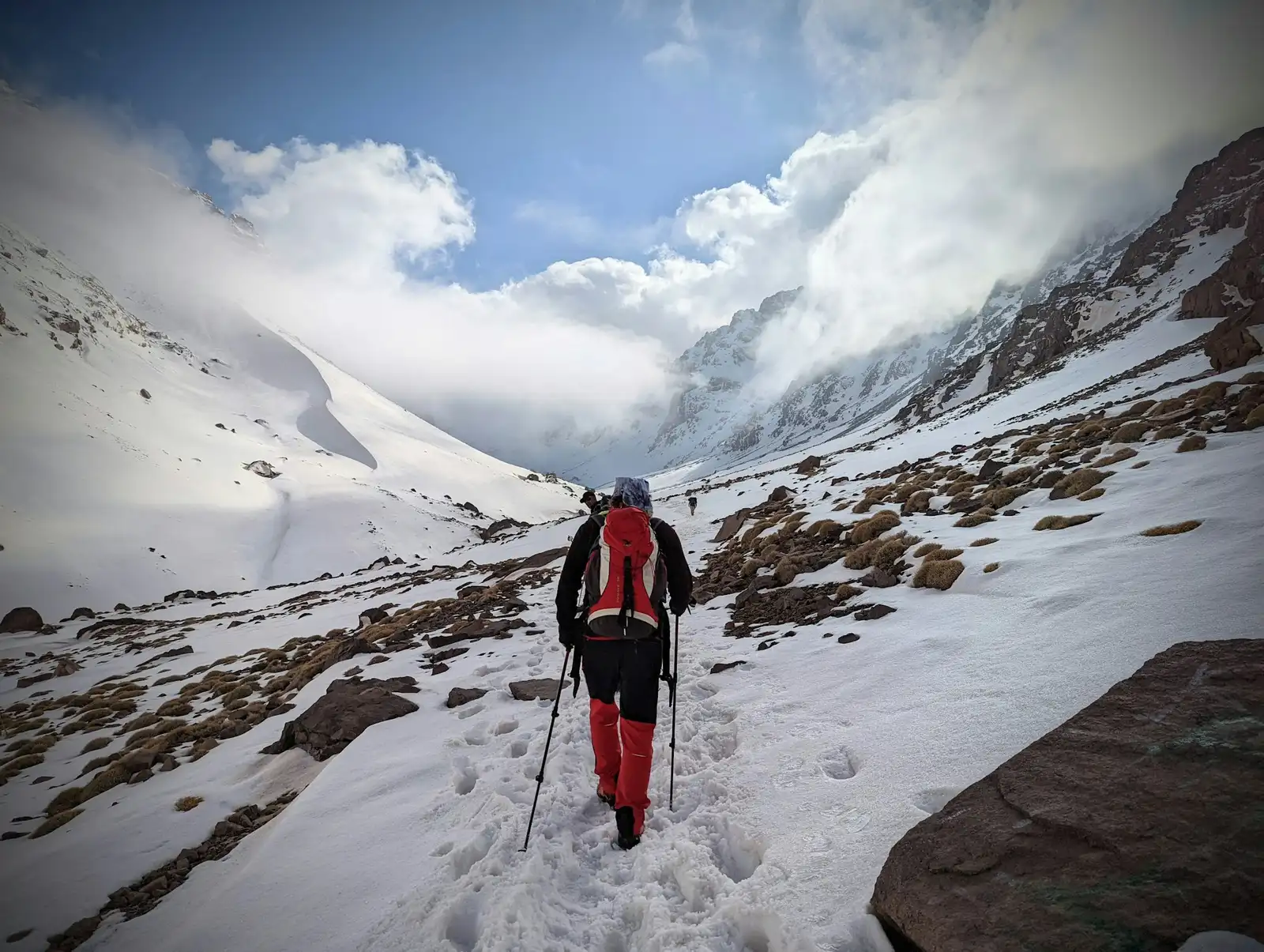
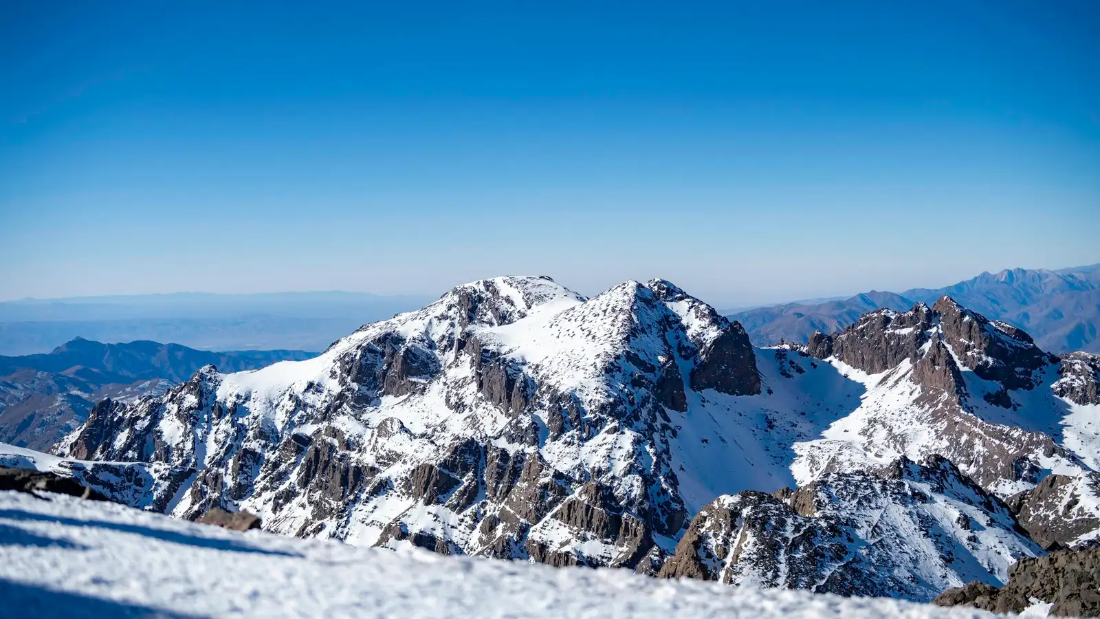
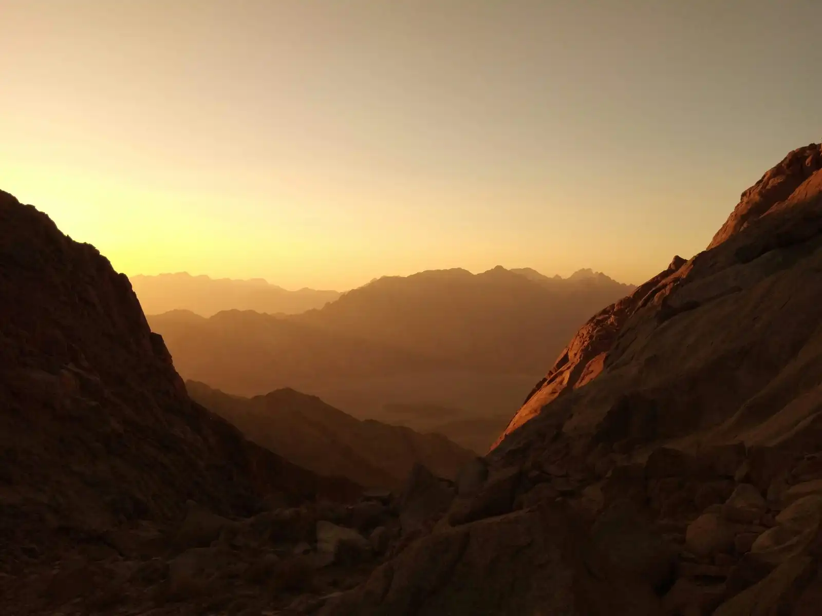
Toubkal is the highest mountain in North Africa and the usual goal for walkers who visit the High Atlas. The route from Imlil is long but well used, and it passes through Berber villages with terraced fields, walnut trees and the shrine at Sidi Chamharouch. Most walkers reach the summit in one long day from the refuge.
The team travels with a licensed guide and mules carry the bags to the refuge, so you walk with a daypack only. Meals are cooked at the refuge and in Imlil, and the menu is simple but filling. Beds are in shared rooms at the refuge, with blankets and hot water in the evening.
This is a hard trip for someone who is not used to long days on steep ground. The summit day starts before dawn and lasts about eight hours, and the descent is harder on the knees than the climb. Walkers should book only if they are comfortable on steep, stony ground.
A drive of about two hours takes you to the end of the road at Imlil. The afternoon is for a short walk and the kit check before the climb.
The track passes the Sidi Chamharouch shrine and climbs the Mizane valley to the refuge. Mules carry your bags for the whole day.
Start before dawn for the summit. The path is steep and loose in places. The view extends across the High Atlas and, on clear days, towards the Sahara.
A long descent by the same route, with knees taking the strain on the steep steps. The evening is spent in the village with a proper bath.
A transfer back to Marrakesh, with stops for photographs at the valley viewpoints if the group wants them.
$720per person
Shared rooms in Imlil and at the refuge, group guide
Choose Standard$910per person
Private room in Imlil, shared refuge room with bed linen
Choose Comfort$1,600per person
Private guide and mule handler for one to three walkers
Choose Private| Departs | Seats left | Status | Price | Request |
|---|---|---|---|---|
| 6 seats left | Open | $720 | Request Sat 3 Apr 2027 | |
| Only 1 left | Few left | $720 | Request Sat 24 Apr 2027 | |
| 4 seats left | Open | $720 | Request Sat 8 May 2027 | |
| Full | Full | $720 | Waitlist Sat 22 May 2027 | |
| 7 seats left | Open | $720 | Request Sat 2 Oct 2027 | |
| 5 seats left | Open | $720 | Request Sat 16 Oct 2027 |
5.0
Based on 1 review
We left the Imlil refuge before four in the morning with headlamps and a steady guide. Hassan kept us to a pace that felt slow at the start and right by the final scramble. The summit at sunrise was cold and very clear, and the descent was easy, with time for a proper lunch. The safety briefing the night before covered altitude signs and turnaround times without scaring anyone. Excellent from start to finish.
Sofia Marin
Still have a question?
Ask a planner. A person reads every message and replies within one working day.
No. The Toubkal route is a long walk on a steep path, not a climb. You do need the stamina for eight hours of walking and the ability to descend loose ground.
Yes, snow can lie on the upper paths from November to April. We run this trip in spring and autumn when the route is usually clear. In case of snow, the guide may bring crampons and an ice axe.
The guide will turn back anyone who is unwell or unable to continue. You will still be fully paid for the trip and the team will take you back to the refuge.
from$1,150
from$890
from$740